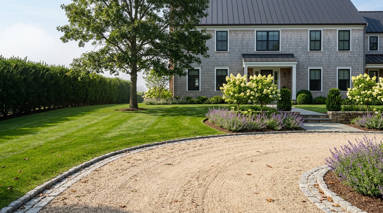
What looks like a perfect two-acre canvas in Bridgehampton can change fast once you check zoning, wetlands, septic, and flood maps. If you are eyeing an estate site, you want clarity on what you can actually build and how long it will take. This guide gives you a simple, local process to evaluate land in the Town of Southampton so you protect your vision and your timeline. Let’s dive in.
Start with maps and zoning
Confirm zoning and overlays
Begin with the Town’s official maps. Use the Town of Southampton’s interactive zoning and GIS tools to verify a parcel’s district, overlays, and past approvals. The map is your first filter for setbacks, flood zones, wetlands, and access features. Check the parcel address and note every mapped layer that touches it. You can start your review on the Town’s Zoning Maps and GIS portal.
Visit the Town Zoning Maps and GIS portal
Read the dimensional rules
Next, pull the Residence Districts dimensional table (§330-11). This table lists the maximum lot coverage, minimum setbacks, and height limits by district. It lets you do quick math on what will fit. For example, in R-40 the table shows a 20 percent maximum lot coverage. On a 1-acre lot, that is 43,560 square feet × 20 percent, or 8,712 square feet of total roofed building coverage.
See the Town’s Residence Districts table (§330-11)
Cross-check environmental layers
Use the Town GIS to screen for wetlands, coastal features, and other environmental overlays. These layers often add buffers or change setbacks that override base zoning. If you see any wetland symbols or coastal flags, plan for a deeper review with a wetlands scientist and the Town’s Conservation Board.
Open the Town GIS environmental layers
Site factors that shape estate living
Orientation, access, and privacy
Walk the frontage and study access points. Narrow frontages or flagpole configurations can squeeze the driveway and limit sight lines. Ask your title company to pull recorded easements that may affect how and where you build. An ALTA/NSPS survey with topography gives you a clear picture before you sketch your program.
Views and tree cover
Document sight lines from likely building pads. Aerials help, but nothing replaces time on site at different hours. Check neighboring parcels’ zoning to infer their future buildable envelopes. A tree and vegetation survey helps you balance privacy with view corridors and understand clearing limits early.
Topography and drainage
Even in the Hamptons, subtle grade changes drive drainage, pool siting, and basement feasibility. Flag low spots, steep slopes, and any signs of seasonal water. For broken terrain or suspected shallow groundwater, plan on a geotechnical consult and detailed grading and drainage plans.
Water, wastewater, and coastal constraints
Septic and soils
Most Bridgehampton parcels are not on sewer, so you should plan for an Innovative/Alternative On-Site Wastewater Treatment System. The Town outlines I/A OWTS requirements and points to Suffolk County standards for design, approvals, and ongoing maintenance. Installed costs are material, often many thousands to tens of thousands of dollars, and the County offers grant and loan programs that can help.
Read the Town’s I/A OWTS guidance
Review SCDHS sanitary code and program standards
See typical I/A OWTS cost ranges and grants
Soils matter. Common local soil types, including Bridgehampton silt loam, can influence perc rates and septic layout. If there are no recent test results, ask a licensed septic designer to dig test pits and map a septic reserve area before you commit.
Wetlands and buffers
Town and state wetlands add buffers that can be significant. The Town’s Conservation Board administers local wetland permits, and NYSDEC regulates mapped tidal wetlands and larger freshwater systems. Use mapping tools to screen, then hire a wetlands scientist to delineate jurisdictional lines in the field. Buffers and permit conditions can affect where you place the home, pool, pool house, and septic.
Flood zones and coastal erosion rules
If the parcel sits near the ocean or bay, check FEMA flood zones and base flood elevations. These numbers drive elevation and foundation type, and they can affect insurance and financing. The Town also enforces a Coastal Erosion Hazard Areas program under Chapter 138 that can add setbacks or other limits in dune and erosion-prone areas.
Review Coastal Erosion Hazard Areas rules
Use the Town zoning portal to pull the FEMA FIRM panel and BFE, then compare to a current topographic survey. In closer-in coastal settings, budget for an elevation certificate by a licensed surveyor before closing.
Quick math to size your program
Use lot coverage as your first filter
Do a fast coverage screen using the Town’s dimensional table. Calculate allowable building coverage as lot area × maximum coverage percent for the district. Include the main house and all roofed accessory structures such as garages, porches, and pool houses. If your desired footprint exceeds the cap, you will need to reduce scope, reconfigure, or consider a larger site.
Check maximum lot coverage by district
Setbacks and height
Front, side, and rear setbacks, as well as height limits, will shape the massing and where amenities fit. In flood zones, height calculations may reference elevation requirements, which can both constrain and enable design solutions. Your architect and zoning attorney can map a realistic envelope that matches code and site conditions.
Due diligence sequence and timeline
1) Preliminary desk review: 1 to 7 days
- Pull the Town GIS layers for zoning, flood, wetlands, and public water mains.
- Check for conservation easements, TDR history, or old filed map issues.
- Scan for recent permits or enforcement actions in Town records.
Start with the Town’s zoning and GIS portal
2) Contract contingency: 2 to 8 weeks typical
- Order an ALTA/PLS survey with topography and tree locations.
- Run perc tests and a septic feasibility layout to current SCDHS and Town standards.
- Commission a wetlands delineation if any mapping flags appear.
- Add soils borings if slope or groundwater is a concern.
- Ask SCWA about water main location and capacity, or price a private well.
- Have an architect or site planner draft a test-fit to verify coverage and setbacks.
3) Permits and public approvals: months
- Straightforward sites can move faster. Parcels with wetlands, coastal overlays, variances, or subdivision steps can take several months to over a year.
- Plan for public hearings and potential mitigation conditions from the Conservation Board or Zoning Board of Appeals.
See Coastal Erosion program reference for coastal permits
4) Construction permits and inspections: weeks to months
- Building permits issue after Town approvals and SCDHS septic sign-off.
- I/A OWTS require start-up and scheduled maintenance, with reports as the County requires.
Review SCDHS sanitary code and program standards
Market and transactional factors in Bridgehampton
Current luxury market context
Bridgehampton remains a premium submarket, with strong activity and elevated median prices at the high end. For up-to-date context and year-over-year trends, use the latest Hamptons market report by Douglas Elliman and Miller Samuel.
Read the Hamptons market report (Q4 2025)
CPF transfer tax and closing costs
Purchases in Southampton are subject to the Peconic Bay Region Community Preservation Fund transfer surcharge. This is a material closing cost that varies by transaction. Review exemptions and structure with your attorney and accountant.
Learn about the CPF program and transfer tax
Septic costs and financing
Budget for I/A OWTS design, installation, and maintenance. Suffolk County’s Reclaim Our Water program offers grants and loans that can offset costs. Verify current availability before you finalize numbers.
See typical I/A OWTS cost ranges and grants
Value drivers for estate parcels
Acreage and privacy, road frontage and safe access, buffers that preserve scenery, and ease of water and septic siting all boost value. Proximity to beaches and village services is always a plus. Quick access to the LIRR and local services from central Bridgehampton also appeals to many buyers.
Who you need on your team
Build a local, permit-savvy team early. At minimum, line up:
- Licensed land surveyor for ALTA/PLS survey and topography.
- Civil or site engineer for septic, drainage, and grading.
- Wetlands ecologist for delineations and permit strategy.
- Geotechnical engineer if slopes or groundwater are in play.
- Architect and landscape architect for layout, massing, and sight lines.
- Zoning attorney with Town of Southampton experience.
- Title company and closing counsel for easements and CPF guidance.
What to ask before you offer
Use these questions to pressure-test any Bridgehampton parcel:
- What is the exact zoning district and are there overlays or Old Filed Map issues that affect the site envelope?
- What is the maximum lot coverage and how does my program fit when I add the house, garage, pool, and pool house?
- Is any part of the parcel within mapped tidal or freshwater wetlands, or a coastal erosion hazard area, and what buffers apply?
- What is the FEMA flood zone and base flood elevation, and will that change foundation type or insurance?
- Is public water from SCWA available at the frontage, or will I need a well? What are hookup rules and fees if public water is present?
- Is there adequate area for a code-compliant I/A OWTS and septic reserve? Do we have recent perc test results?
- Are there recorded easements or conservation easements that limit where I can build or clear?
- Will we likely need variances, and what is the Town’s recent practice on similar requests?
- Are there TDR, Pine Barrens credits, or conservation elements that change development rights on this or neighboring parcels?
Ready to explore Bridgehampton land?
If you are considering an estate site in Bridgehampton, a clear plan and the right team protect both your vision and your leverage. Our clients rely on a step-by-step process that starts with coverage math and mapping, then moves quickly into surveys, septic feasibility, and permit strategy. If you want a quiet, expert partner to help you source, vet, and position the right parcel, reach out to Nicole Tunick for a private consultation.
FAQs
What is the first step to evaluate land in Bridgehampton?
- Start with the Town’s zoning and GIS portal, confirm the parcel’s district and overlays, then use the Residence Districts table to run a quick lot coverage screen before drafting a site plan.
How do wetlands rules affect building in Southampton Town?
- Town and state wetlands add buffers that can be substantial, and they may dictate where you place the home, pool, and septic; plan on a field delineation and a Conservation Board permit strategy early in due diligence.
Do I need an I/A septic system on a Bridgehampton parcel?
- Many new builds and higher-priority areas require I/A OWTS under Town guidance and Suffolk County standards; expect design approval, installation, and ongoing maintenance as part of the project.
How do FEMA flood zones change design and insurance?
- In AE or VE zones, base flood elevation can drive raised foundations and specific construction methods, and it can affect insurance and lender terms, so get an elevation certificate if the site is near mapped flood areas.
What closing costs beyond price should I plan for in Southampton?
- The Peconic Bay Region CPF transfer surcharge is a significant closing cost, and you should also plan for septic and site engineering expenses, with your attorney reviewing exemptions and structure.
Can TDR or Pine Barrens credits change what I can build?
- Transfer of Development Rights and credit programs can move or limit development potential on sending parcels and create receiving opportunities elsewhere, so check the Town’s TDR framework before assuming subdividability.